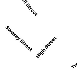
126 HIGH ST
Owner Information
RATKEVICIUS MARY E-ETUX
126 HIGH ST
HAVERHILL, MA 01832


Property Details
126 HIGH ST is classified as a Two-Family Residential (Multi-grdn).
The primary structure on this property was built in 1920. There are 2,138ft2 of built area within this property. There is 2,138ft2 of residential/living space within this property. This property is listed as having 14 rooms. There are 2 units within this property.
126 HIGH ST is valued at $294,200. The land is valued at $97,800 and the structures are valued at $196,200. There is an additional valuation of $200 on this property.
The most recent deed for 126 HIGH ST is recorded at the local registrar in Book 33109, Page 315. 126 HIGH ST was last sold on Monday, February 10, 2014 for $100.
Assessment data from fiscal year 2022.
Flood Data
According to the FEMA National Flood Hazard Layer, this property does not appear to be in a flood zone. It may also be in an area not yet reviewed. Nonetheless, confirm this information prior to taking any action.
To view the flood hazards around this property, create a FEMA "Firmette" Map of the area around 126 HIGH ST.
Broadband Internet Providers
| Provider | Type | Bandwidth (mbps) | |
|---|---|---|---|
| Comcast | Cable | 1000 | 35 |
| VSAT Systems, LLC. | Satellite | 2 | 1 |
| HughesNet | Satellite | 25 | 3 |
| GCI Communication Corp. | Satellite | 0 | 0 |
| Viasat Inc | Satellite | 100 | 3 |
| Verizon New England Inc. | DSL | 10 | 1 |
Broadband service provider data from December 2020.